Wingtra One Drone Redefines Surveying at Public Works Campus
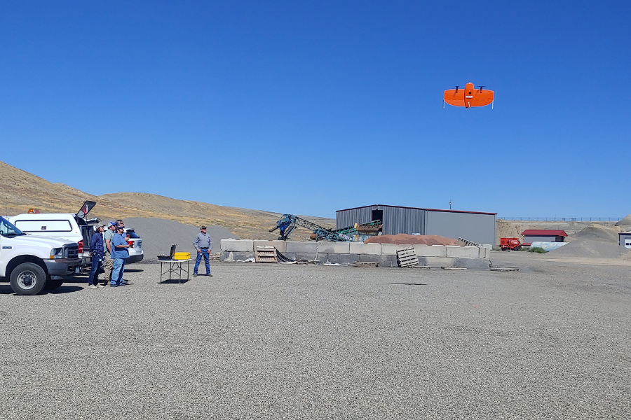
This week, the engineering survey group at the Public Works Department showcased the capabilities of the Wingtra One UAV (drone), using technology that revolutionizes how large-scale surveys are conducted.
Hovering above the Public Works Campus, the Wingtra One performed an aerial topographic survey, capturing precise Orthomosaic photos and creating a 3D model of the terrain. The drone covered roughly 30 acres in just 10 minutes, with a ground sampling distance as small as 0.4 inches — revealing details as small as half an inch.
The survey group anticipated saving over a week's work and staff time compared to traditional survey methods. This advancement creates efficiency and accuracy in designing a new drainage plan for the campus.
The Wingtra One's flight over the Public Works Campus marked a leap forward in greater precision and resource optimization for the department and the community.